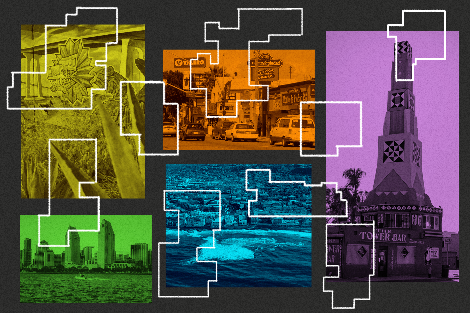
Redrawing San Diego’s Political Map
Reporting by Maya Srikrishnan | Maps by Cam Rodriguez
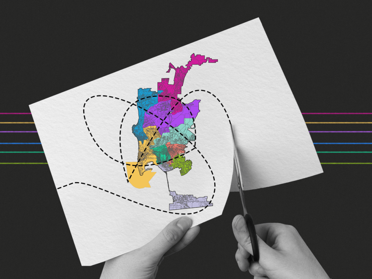
This once-a-decade process, which occurs right after the U.S. Census, redraws San Diego’s political maps based on population changes.
In this series, Voice of San Diego explores the debates and discussions happening around 2021 redistricting – which communities want to stay together, what communities value and what that says about who they want to be voting with when they vote for their congressional representative, city councilmember, county supervisor and more.
Featured Stories
After Redistricting, Advocates Argue for More Districts. Or None At All.
District representation has been seen as a way to empower communities of color, but advocates are now questioning whether the city’s nine Council districts is too few – or whether we need districts in…

Latinos Stand to Lose Voting Power in District 9
The current map the commission is evaluating significantly reduces the Latino and voting age population from what it is in the City Council District 9.
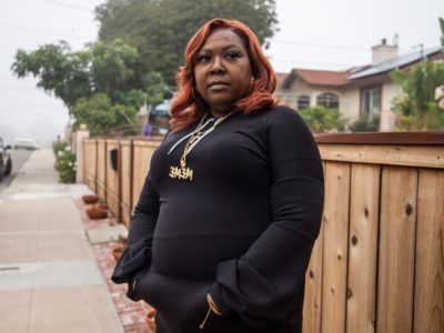
Pushed Out of San Diego by Housing Costs, Black Voters Fight for County Representation
The city’s historical center of Black culture and politics, District 4, has been undergoing a demographic shift for decades that has meant fewer Black people have been able to stay in the district – and in the city…

San Diego 101: How Redistricting Shapes Your Community
In Episode 3 of San Diego 101 hosts Adriana Heldiz and Maya Srikrishnan explain how redistricting works in San Diego by taking us back in time to the city’s last redistricting process.
Redistricting Commissioner Resigns Following Ethics Complaint
Lee’s resignation now leaves District 6 without representation on the city’s redistricting commission.

UCSD Students See Opportunity to Cut Political Ties to La Jolla
In public statements to the San Diego Redistricting Commission, students highlighted several issues that they believe should separate them from La Jolla, including transportation, differences in demographics and where they spend their time. But…

5 Things to Know About San Diego’s Latest Round of Redistricting
The demographics of the city have been changing – and the nine City Council districts will change along with them.

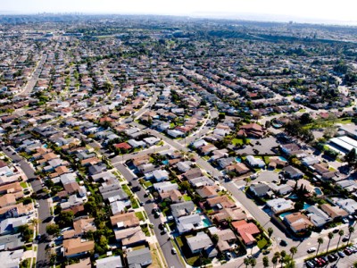
For Park Village’s Asian Residents, Redistricting Pits Neighborhood Against Identity
In 2011, redistricting commissioners split the Park Village neighborhood from the rest of Rancho Peñasquitos and into an Asian-empowerment City Council district. Some Asian Park Village residents want to see the community reunited, and…

African Communities Warn Language Issues Could Shut Them Out of Redistricting
Redistricting is a complex undertaking that can confuse even most political observers. But some African residents in San Diego are worried they will be further shut out of the process this year because of…
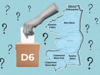
Big Question Marks Are Hanging Over the District 6 City Council Race
Redistricting and the COVID-19 pandemic collided to create a number of big unanswered questions for the District 6 race. For one, no one knows yet what the district will actually look like. And it’s…
Maps
The population of San Diego County has shifted and changed over the past 30 years.
This map shows the distribution of Black residents throughout the county by Census tract between 1990 and 2020, with data sourced from IPUMS/NHGIS and Census population reports. Graphic by Cam Rodriguez.
San Diego 101
Every 10 years, cities and municipalities redraw their political boundaries, which has a major impact on elections and representation.
From VOSD’s San Diego 101 project, this video (available with Spanish captions) and podcast explain what happened in San Diego during the last redistricting process. We’ll also break down how the process works, why we do it, how it could affect San Diego in 2021 and how residents get involved.
San Diego 101 is a video and podcast series made to educate San Diegans about the most important issues that shape our region.